
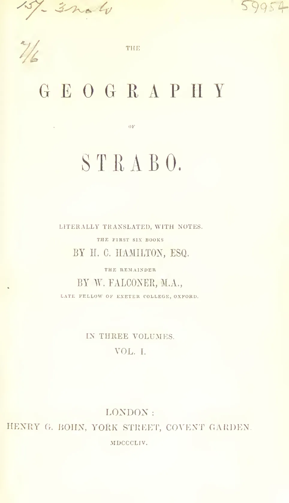
Strabo wrote his Geography in Greek. I give it here in the English of H. C. Hamilton and W. Falconer. Henry G. Bohn published it in London, in Bohn’s Classical Library, in three volumes. Volume I is 1854. Volume II is 1856. Volume III is 1857. The title page says Hamilton translated the first six books, and Falconer the remainder.
This is a historical and geographic record. Strabo describes the coasts, rivers, cities and peoples of the world he knew, and he argues with the Greek writers who had described them before him. He lived in the time of Augustus and into the time of Tiberius.
The passage I come back to is in Book II, chapter 3. In section 6 Strabo says that Posidonius did well to cite Plato. The tradition of the island of Atlantis, he writes, might be received as something more than a mere fiction. Solon had it from the Egyptian priests. The island, almost as large as a continent, had been in existence, and it had disappeared. In my copy of Volume I that sentence is on printed page 154. I checked that page against the scan. The same section goes on to Posidonius on the Cimbri and on the length of the inhabited earth. The sections just before it are Strabo’s objections to a story of a voyage round Africa. The Atlantis sentence sits in that argument. I keep a shorter note of the other places I use him on Strabo.
He sets the west end of his line across the inhabited earth at the Pillars of Hercules. That is this translation’s name for the Pillars of Heracles. Beyond them he puts the Atlantic. Book III then starts the countries, with Spain.
Book XVII is Egypt and Africa. The summary printed at the head of that book says it contains the whole of Egypt and Africa. Chapter 1 turns to the Nile. I use that account of the Delta on 7 Rivers of the Nile.
Strabo died about 24 CE. The preface in Volume III says the exact year of his birth, and the exact year of his death, are not known for certain. It also reports Groskurd’s conclusion that he died in A.D. 24.
Contents
Volume I. 1854
- Notice
- Book I, Chapter I
- Book I, Chapter II
- Book I, Chapters III to IV
- Book II, Chapters I to III
- Book II, Chapters IV to V
- Book III, Chapters I to IV
- Book III, Chapter V
- Book IV
- Book V, Chapters I to III
- Book V, Chapter IV
- Book VI, Chapters I to II
- Book VI, Chapters III to IV
- Book VII, Chapters I to VI
- Book VII, Chapters VII to Fragments
Volume II. 1856
- Book VIII, Chapters I to V
- Book VIII, Chapters VI to VIII
- Book IX, Chapters I to IV
- Book IX, Chapter V
- Book X, Chapters I to IV
- Book X, Chapter V
- Book XI, Chapters I to XIII
- Book XI, Chapter XIV
- Book XII, Chapters I to VII
- Book XII, Chapter VIII
- Book XIII, Chapter I
- Book XIII, Chapters II to IV
Volume III. 1857
- Preface
- Book XIV, Chapters I to IV
- Book XIV, Chapters V to VI
- Book XV, Chapter I
- Book XV, Chapters II to III
- Book XVI, Chapters I to III
- Book XVI, Chapter IV
- Book XVII, Chapter I
- Book XVII, Chapters II to III
- Index
Credits and public domain
The wording on the chapter pages is the Bohn edition. I took it from Project Gutenberg ebooks 44884 (Volume I), 44885 (Volume II) and 44886 (Volume III). Anna Tuinman, Turgut Dincer and the Online Distributed Proofreading Team made the files from the scans. Gutenberg marks the text public domain in the United States.
The scans I checked are on archive.org. Volume I, 1854, is india.history.resource.106406. Volume II, 1856, is india.history.resource.106403. Volume III, 1857, with the index, is india.history.resource.106404. The cover is the title page of the Wellcome Library copy of Volume I, archive.org b24872556_0001.
I compared the Atlantis passage with printed page 154 of Volume I. The words match, and the two notes at the foot of that page match. On the printed page the notes begin again at 1. In this text the notes keep the continuous numbers of the Gutenberg file, so each marker stays tied to its note. The note itself is the one printed in the book.
The only figure in the three volumes is a small diagram of the River Indus. It stands in a footnote in Book XV, on printed page 79 of Volume III. The footnote says that in some manuscripts the diagram is to be found. I put the diagram where that footnote has it. I did not find a second plate. The pages of each volume are one size, so there is no folded map in these copies.
The proofreaders say that where a city was spelled in more than one way, and the spelling was obvious, they made it consistent. Their list of modern Turkish spellings is not in the 1854 to 1857 book. I left it out.
The catalogue of the scans gives H. C. Hamilton as 1811 to 1895, and W. Falconer as 1801 to 1885. The volumes were published in 1854, 1856 and 1857. In the United States the text and the diagram are in the public domain.
The picture files are not on the image server yet. The pages will show them after these files are uploaded.
- /wp-content/uploads/2026/11/the-geography-of-strabo-cover.webp
- /wp-content/uploads/2026/11/the-geography-of-strabo-01.webp