
Table of Contents
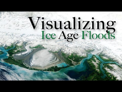
Peter Zelinka reads a USGS relief map as a record of ice age floods. Between about fifteen and ten thousand years ago, he says, North America was reshaped while the climate swung warm, cold, and warm again. Canada lay under ice more than a mile deep, then melted fast, by a comet, the sun, or both. He points viewers to Randall Carlson for the detail. Scabland channels, Wallula Gap, and the Columbia gorge are the track of water full of rock, trees, and ice, ponding and even running backward before it reached the sea. He rejects the claim that Glacial Lake Missoula burst dozens of times and cut almost everything, because that story forgets the ice to the north and needs the dam to form again and again. Melt near Prince George, drumlins, the Finger Lakes, and a great lake feeding the Mississippi join the same view. Seas stood far lower until the ice gave its water back. He adds heavy rains in the Southwest near the Younger Dryas. The piece is a map tour, not a new survey.
Key points
- He uses a public relief map to show erosion that trees and towns now hide.
- A mile deep ice sheet over Canada, melted fast by comet or sun or both, is his starting picture.
- Scabland channels, Wallula Gap, and the Columbia gorge are read as paths of debris choked floods.
- He doubts that dozens of Missoula bursts, rather than ice melting to the north, cut those lands.
- Drumlins, the Finger Lakes, and a huge meltwater lake feeding the Mississippi extend the same pattern east.
- Lower ice age seas and heavy rains in the Southwest are part of the same short, violent interval.
Short quotes
all of these Landscapes were radically altered between about 15 to 10,000 years ago
Peter Zelinka, Ice age floods on the map
He dates the reshaping of these lands to the last few thousand years of the ice age. Watch at 1:31
this was all caused by the massive flood waters coming off of the melting ice sheets
Peter Zelinka, Ice age floods on the map
The scabland scars, in his reading, are meltwater, not ordinary rivers. Watch at 3:33
the current mainstream theory is that all of the erosion we're seeing in the channel scab lands was caused by glacial Lake Missoula
Peter Zelinka, Ice age floods on the map
He states the textbook account before arguing that it leaves out the ice to the north. Watch at 6:57
sea levels were 400 ft lower during the Ice Age
Peter Zelinka, Ice age floods on the map
He ties the missing ocean water to the ice locked up on land. Watch at 14:19
Video by Peter Zelinka. Watch on YouTube.