
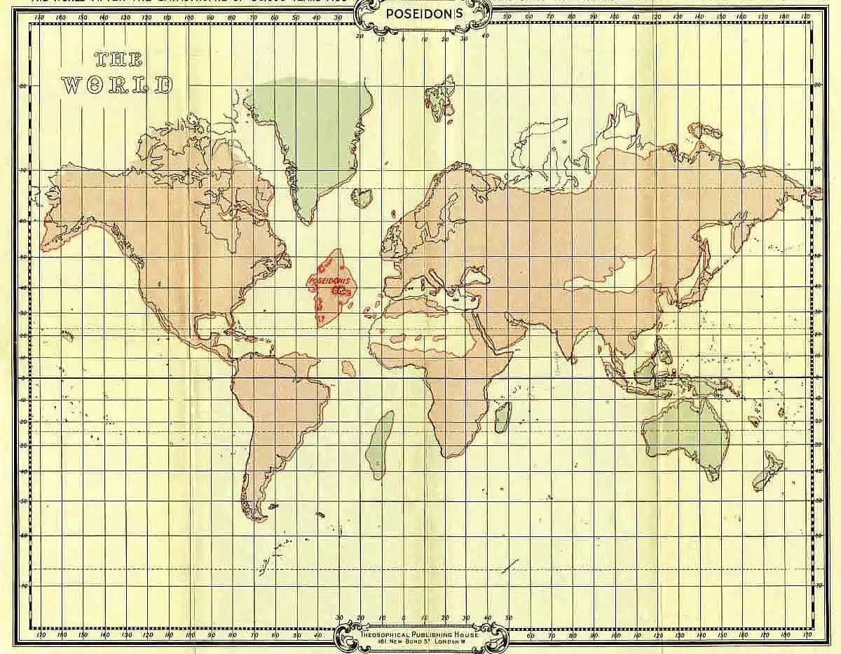
This map was compiled about 75,000 years ago, and it no doubt fairly represents the land surface of the earth from that period onwards till the final submergence of Poseidonis in 9564 b.c., though during that period minor changes must have taken place.
It will be noted that the land outlines had then begun to assume roughly the same appearance they do to-day, though the British Islands were still joined to the European continent, while the Baltic Sea was non-existent, and the Sahara desert then formed part of the ocean floor.


Comments are closed.